Northern Arizona
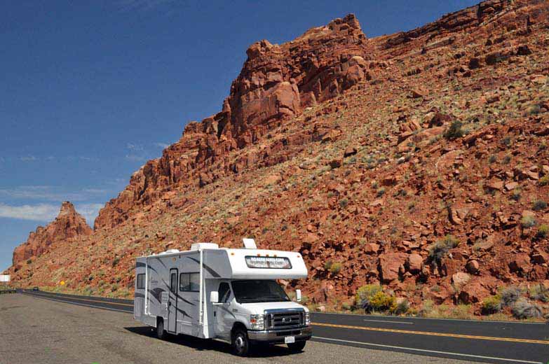
We are traveling US Highway Alternate 89 from Page, Arizona, to Kanab, Utah. Our original intent or plan was to take a side trip to the North Rim of the Grand Canyon. It was soon realized that while the distances are not long, the travel time is long. Not only are there things to stop for to see, there are the mountains that cannot be driven at top highway speeds. Eating lunch at Jacob Lake, I overheard some people being told that the drive to the North Rim would take about 1-1/2 hours — it is only 45 miles. A gentleman we had dinner with during the summer of 2010 stated that our 12 day itinerary could not be kept. Guess he was correct.
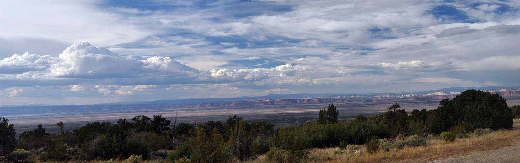
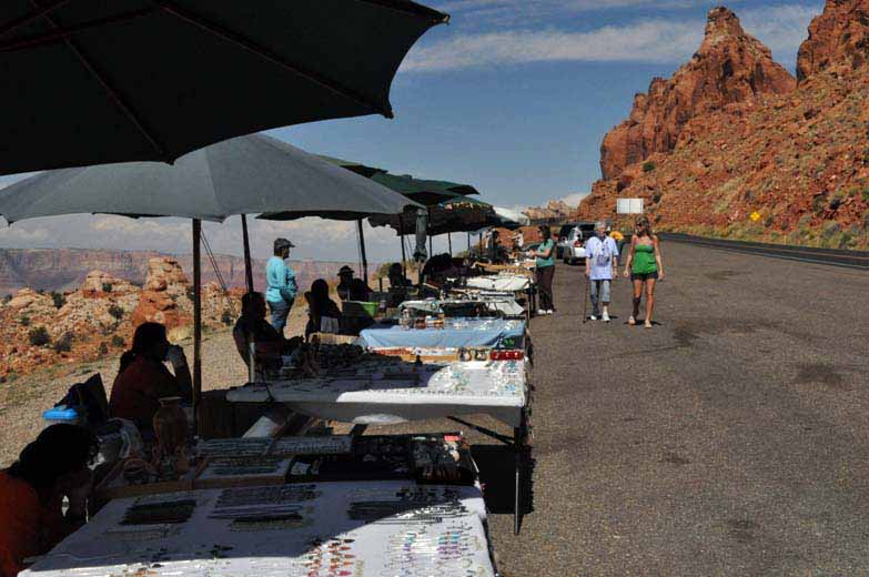
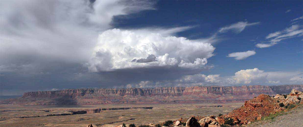
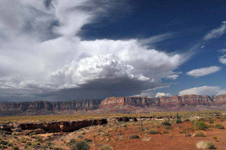
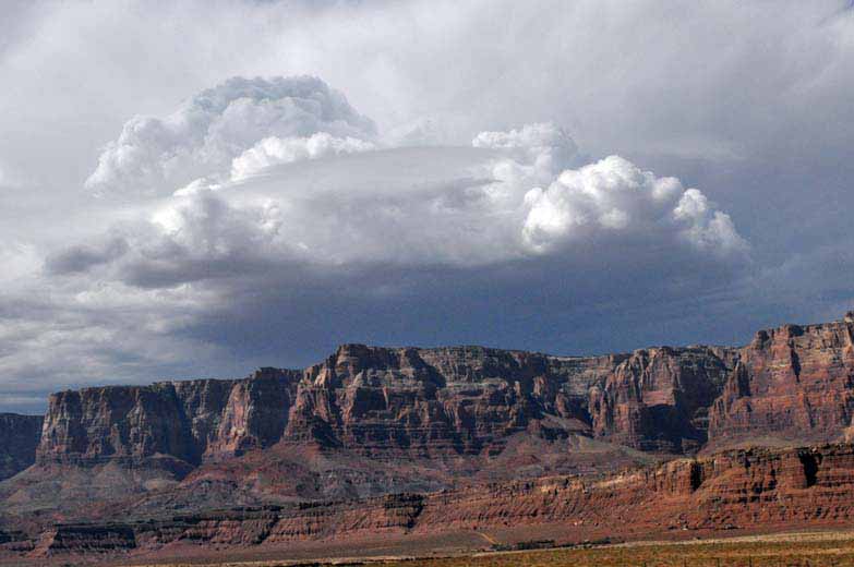
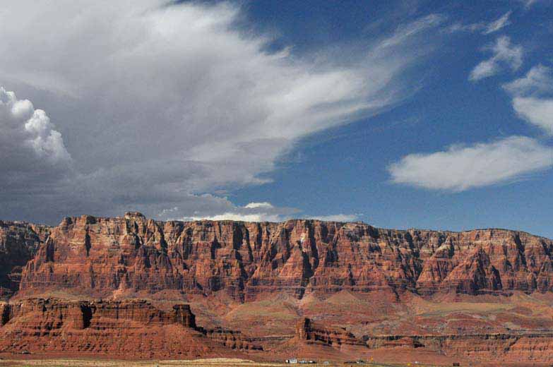
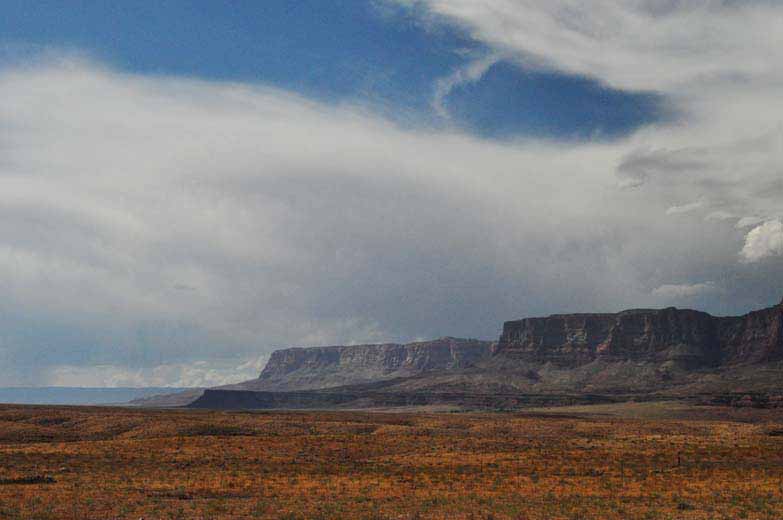
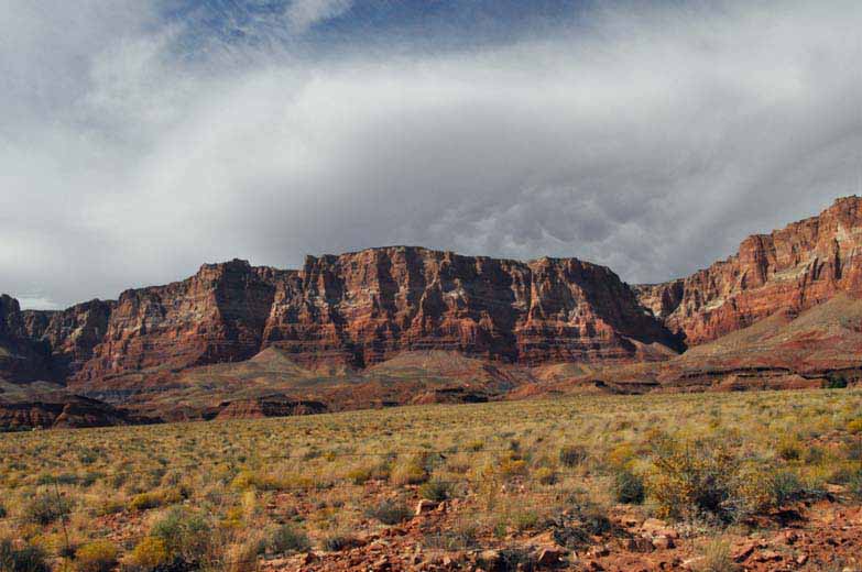
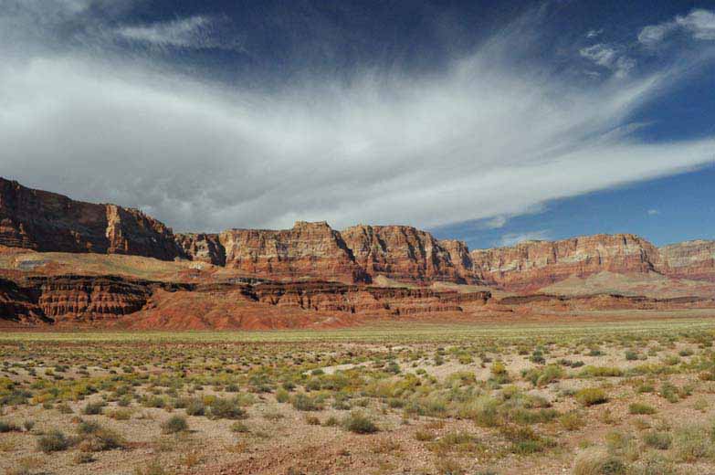
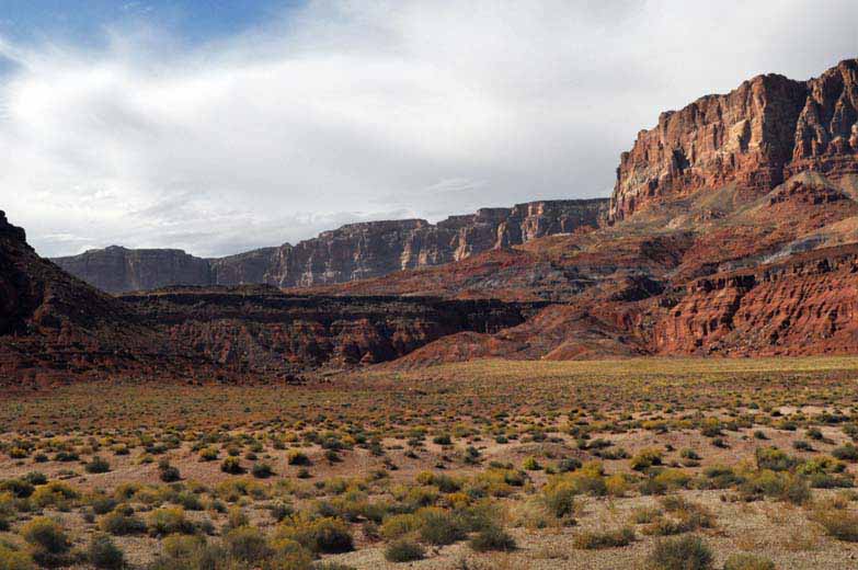
Navajo Indians set up shop along the highways. We had stopped at one a few days earlier. Good or not, we purchased some items at both stops. From the side of the mountain we were traveling there was a commanding view of land. Clouds building made for nice photographic opportunities. In the last two photos of this group, we are looking back at the mountain we just came down.
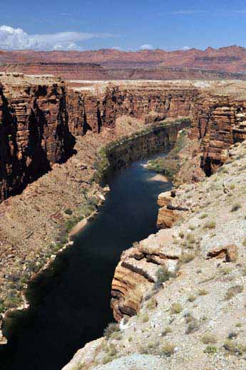
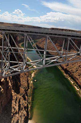
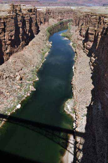
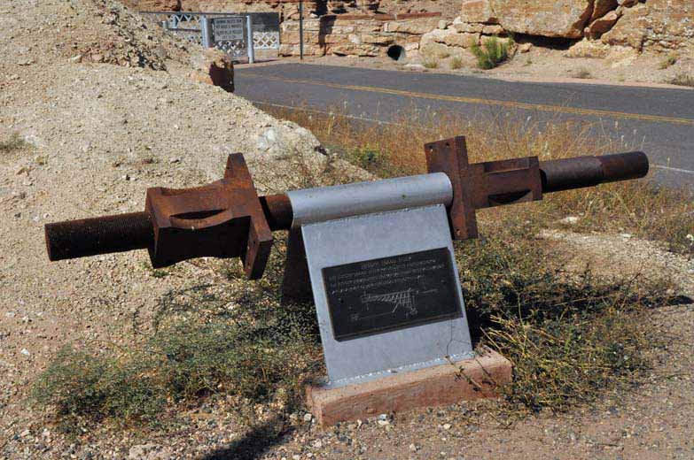
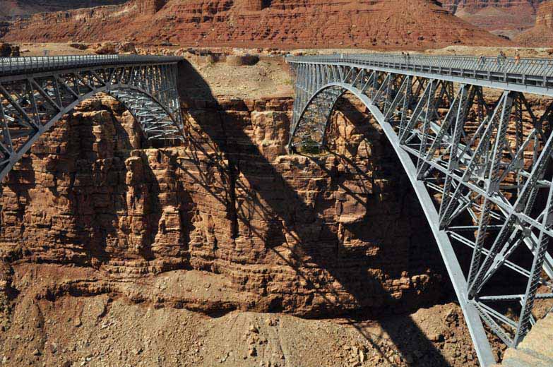
Here we arrive again at the Colorado River, at the Marble Canyon Navajo Bridge. The first bridge was built in 1927 and is one of the few bridges that span the Colorado River. Traffic required planners to rethink the layout and capacity and in 1995 a second bridge was built. The two look identical. Interestingly, the first bridge spanned 834 feet and was 467 feet above the river. It cost $390,000. The new bridge spanning 909 feet and 470 feet above the river, cost $14,700,000. In the photographs that show two bridges the old bridge is on the left and is no longer used. The big chunk of steel is part of a turnbuckle used in construction of the original bridge.
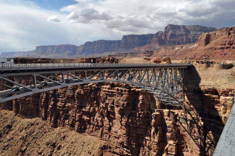
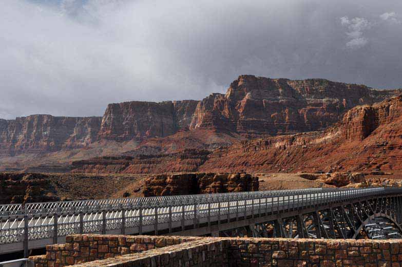
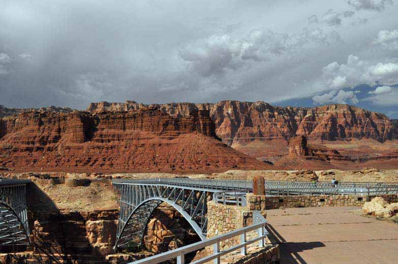
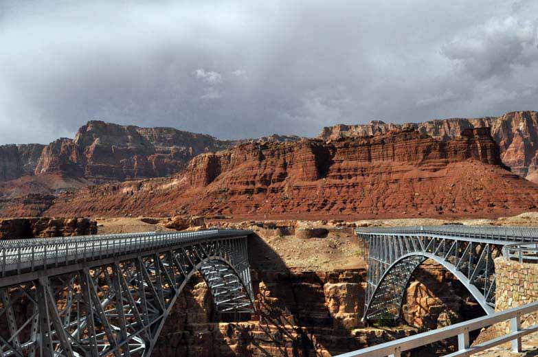
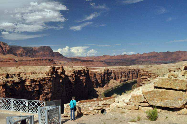
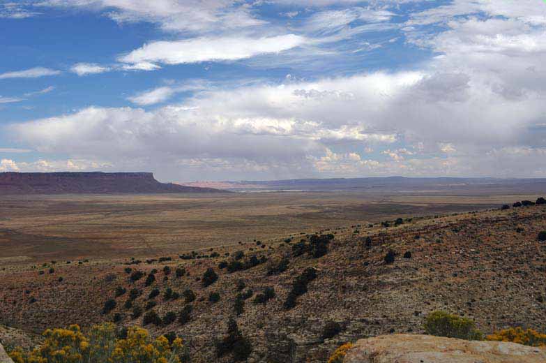
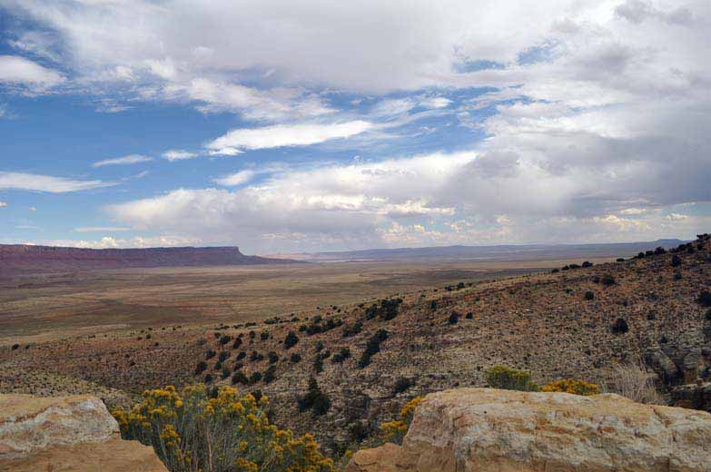
The cliffs, in the background in the photographs above, are part of the Vermilion Cliffs National Monument. We will travel westward with the cliffs on our right for the next hour or so.

Passed the Vermilion Cliffs, we start a long mountain climb into and through the Kaibab National Forest. Few places to stop and fewer travelers on the road. Our goal for the day is the Coral Pink Sands Dune State Part near Kanab, Utah.