Natural Bridges National Monument
The drive from Capitol Reef to Natural Bridges National Monument doesn't have a lot of scenic views. There are the small plants that require looking at in detail to see their small blooms. It was not until we entered into the very large area what makes up the Glen Canyon National Recreation Area that things became interesting again.
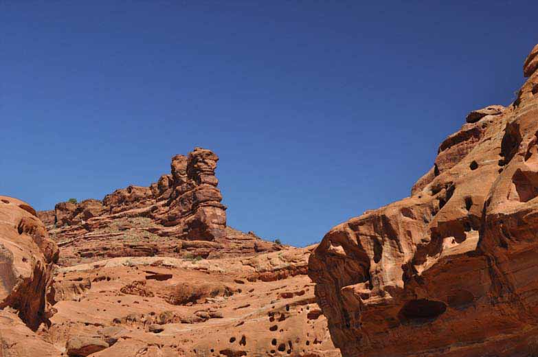
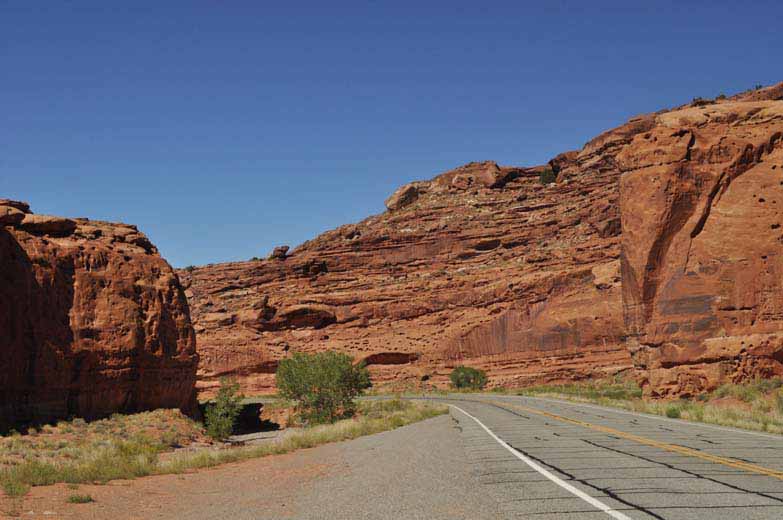
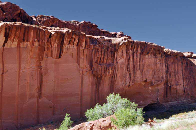
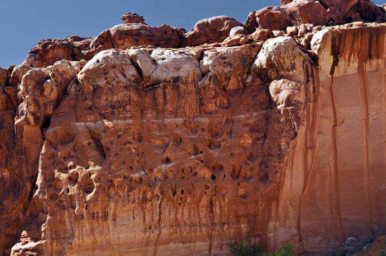
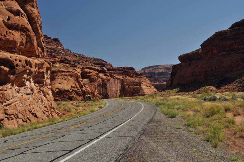
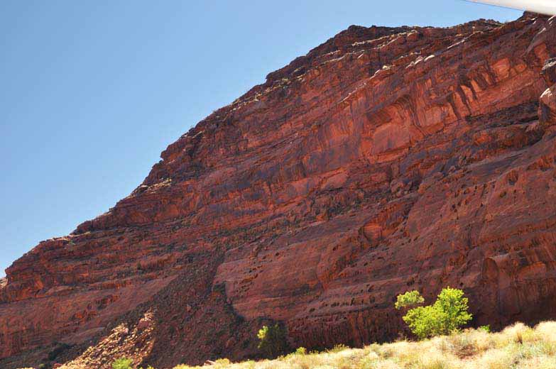
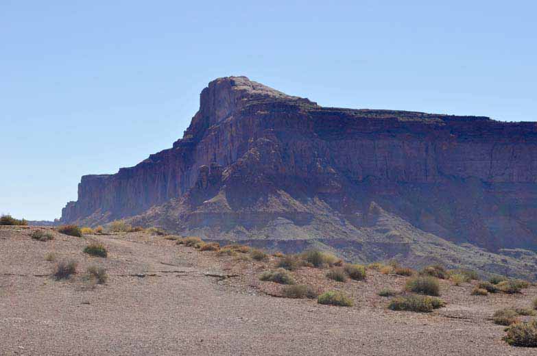
We really didn't know what was ahead when suddenly we were driving along a highway with cliffs on both sides. The red sandstone was back and it provided a colorful sight.
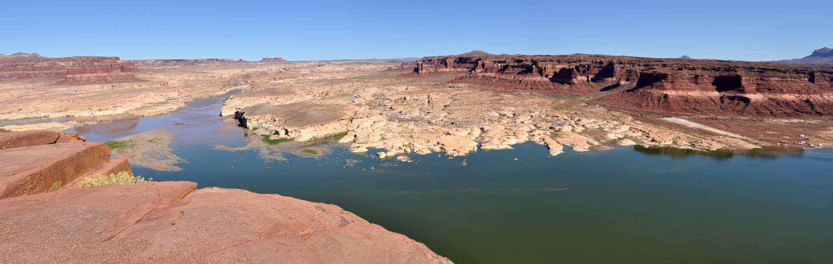
The first sighting of water still did not give a hint of the bigger “picture.” This was the very northern end of the Glen Canyon that can be accessed by highway. The water is the Colorado River and is spilling into Lake Powell. Lake Powell was formed by the construction of damn at Page, Arizona. More on that when we arrive at Page.
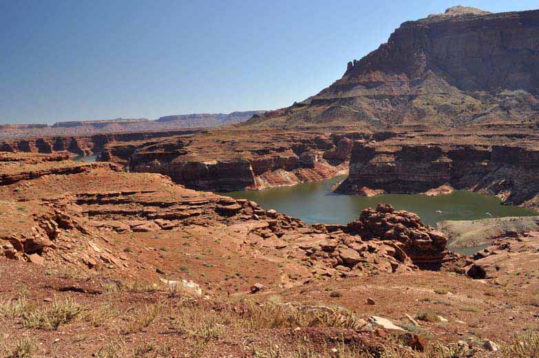
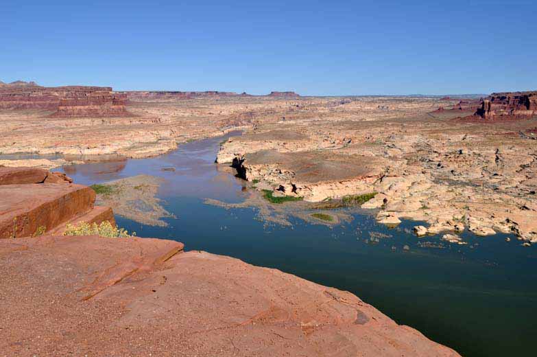
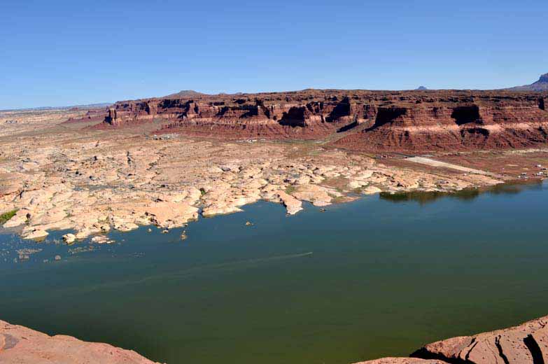
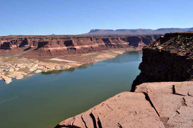
In the above two photos and the panorama below, on the distant bank is the Hite Marina.
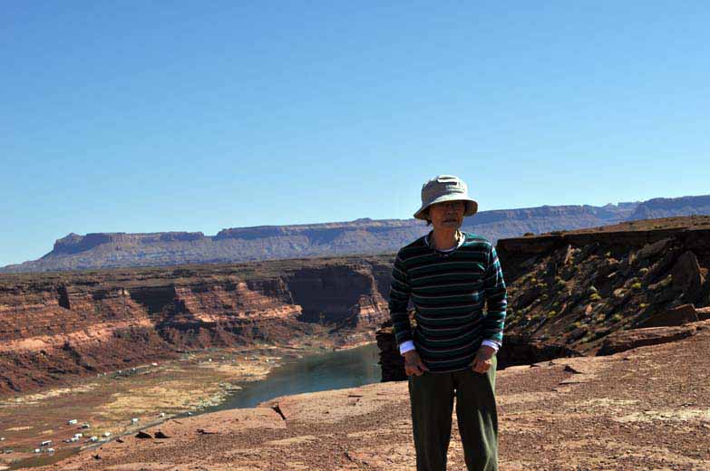
With the photograph that includes Mieko, I was attempting to set up the camera so I could be included. Sadly, I had not studied the manual well enough to know how it is done. I got several of her but none that would include me.
Another 60 plus miles and we arrived at the Natural Bridges National Monument. Checking in with the Visitor Center, we learned that there were no campsite available. The only thing that could be offered was a spot at their “overflow campground.”
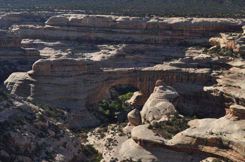
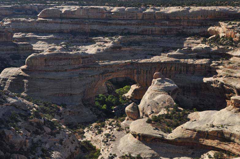

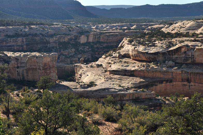
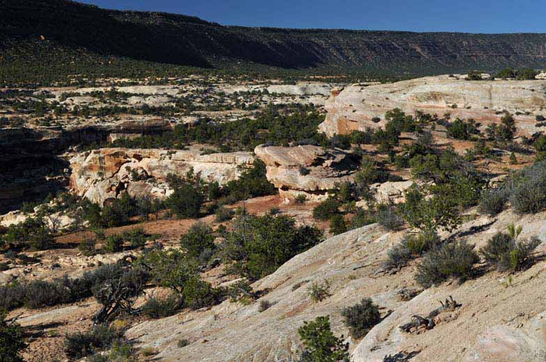
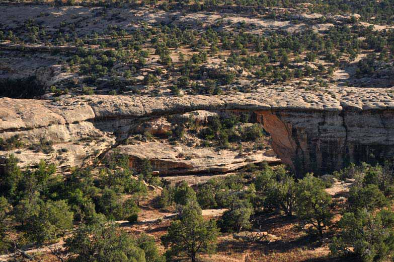
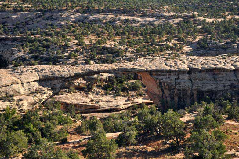
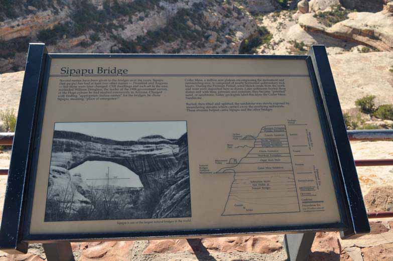
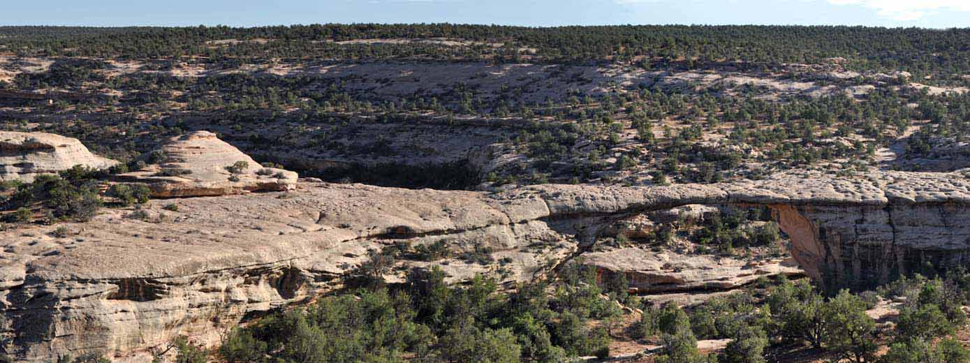
It was terribly hot — wonderful that we had air conditioning. I suppose it has been notice that there are no close up photographs of the natural bridges. The most significant bridge I found required a one mile hike (okay, not bad) and it involved a 400 feet drop in elevation (okay, that is bad)! Frankly, I did not feel like taking the time and the “heat” for this hike. In addition, no way was Mieko going to make that trip and I did not want to leave the RV running for a couple of hours that this hike would require. Four hundred feet down is not a problem but in this case “what goes down must come up.” Hmm, is that right?
We found the overflow campground. This belongs to the Bureau of Land Management. They manage but don't maintain. We bounced all over getting into the area. Really can't say that it was much more than a wash for a road. But we found a spot and we took it. Now we were really roughing it. No water, no electricity, no dump or sewage connection and no generators late. As every night we did play a lot of gin rummy.
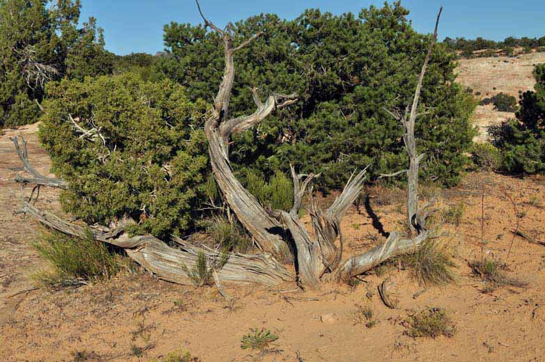
We were along side a juniper, the one below, just like many that we saw. These are interesting plants. We learned that in times of drought, these plants will sacrifice part of itself so other parts can continue to grow on the limited water that might be available. That is why parts of this plant is quiet dead yet other parts are nice and green.